
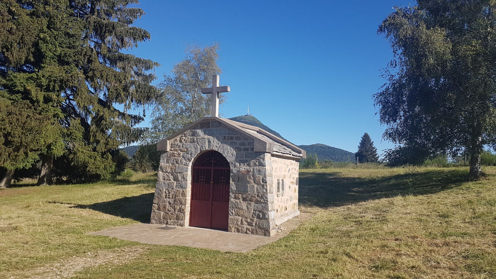
La Croix de Beaune
Saint-Genès-Champanelle
 No dogs allowed
Distance 3.6Km
Duration 1h00
Hiking route BOUCLE
Marking Yellow circles in both directions.
In pictures

Route description
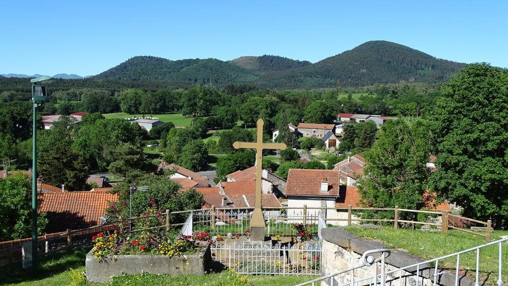
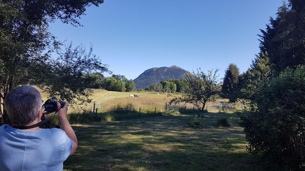
On this walk, you’ll enjoy views of the Puys de la Vache, Lassolas and Mercoeur. This relatively easy, flat trail is suitable for families, beginners and schoolchildren.
Trail highlights
We recommend that you follow the tour using the Mikhes app, which guides you step by step to simplify your discovery. Download the app at the bottom of the page and start your tour.
Guidebook with maps/step-by-step
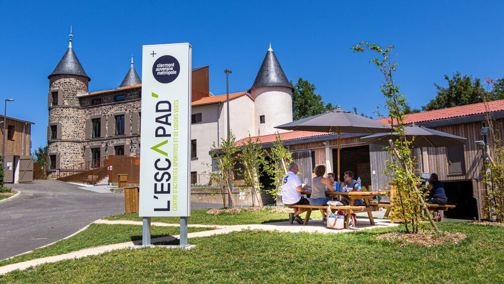
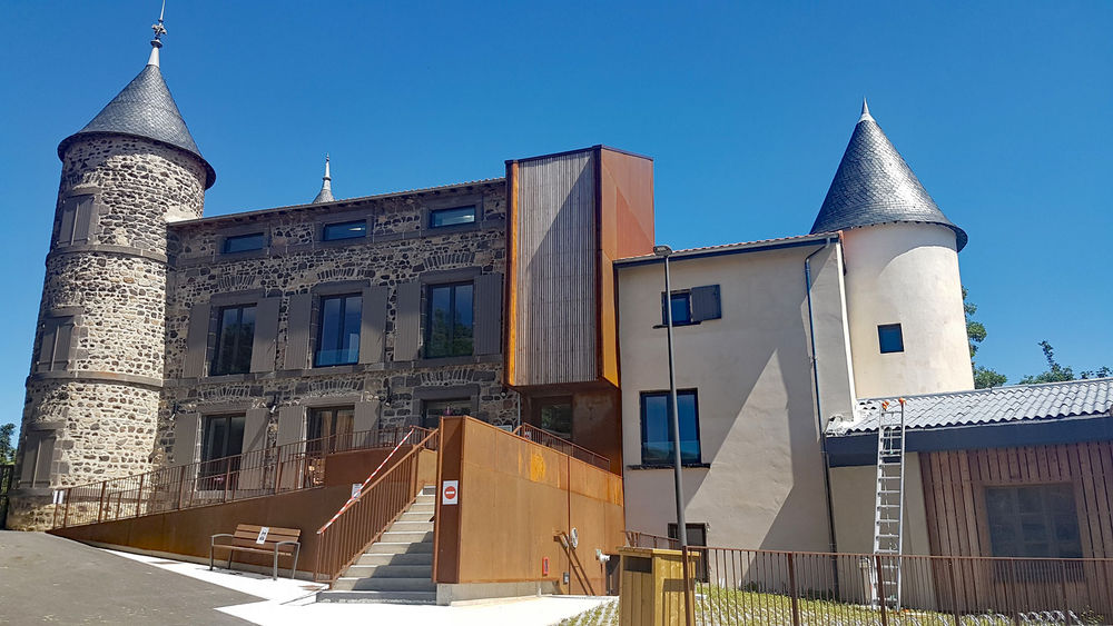
Step 1 : On leaving L’Escapad’, go behind the church to cross at the crosswalk. At the town hall, go down to the directional mast to head for Chatrat. Turn left and drive past the cemetery.
Step 2 : Arrive at the road and go straight on, direction Chatrat/Puy de Dôme.
Step 3 : Turn left onto chemin de la Croix de Beaune. Continue straight on, leaving the right-hand path.
Step 4 : Alternatively, take the small track on the left (arrow PR) before the Croix de Beaune. Cross the main road and go straight on towards St Genès Champanelle.
4bis- Optional : 200-metre round trip for a panoramic view of Puy de la Vache, Lassolas and Puy de Mercoeur. Finish the climb by passing the Croix de Beaune to access the view.
Next step
Step 5 : Pass the sports complex, fire station and tennis courts, following the yellow circles to reach the town hall and the signpost to L’Escapad’ (200 m).
Opening hours
From 01/01 to 31/12 daily.
Comfort, facilities and services
- Coach access
- Defibrillator
Environment
Forest location, Mountain view
Access
Road access to L’Escapad’ – 1 chemin du Château – 63122 Saint-Genès-Champanelle Le Bourg.
From Clermont-Ferrand, take the N89 via Beaumont, Ceyrat, Saulzet-Le-Chaud then Theix.
Continue on the D90 to Saint-Genès-Champanelle Le Bourg or via Royat, Charade, Manson then Thèdes (D90).
Downloadable :
You might also like…
-
-
Forest Hike | From L’Escapad
-
Charade Hike | From L’Escapad
-
La Traversée de l’Auzon
-
Le petit Saint Aubin
-
Le grand Saint Aubin
-

Petit Chatrat
-
Berzet Tower
-
Le Petit Chatrat by mountain bike
-
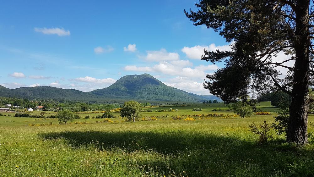
Hike at the Foot of Puy de Mercœur | Starting from L’Escapad
-
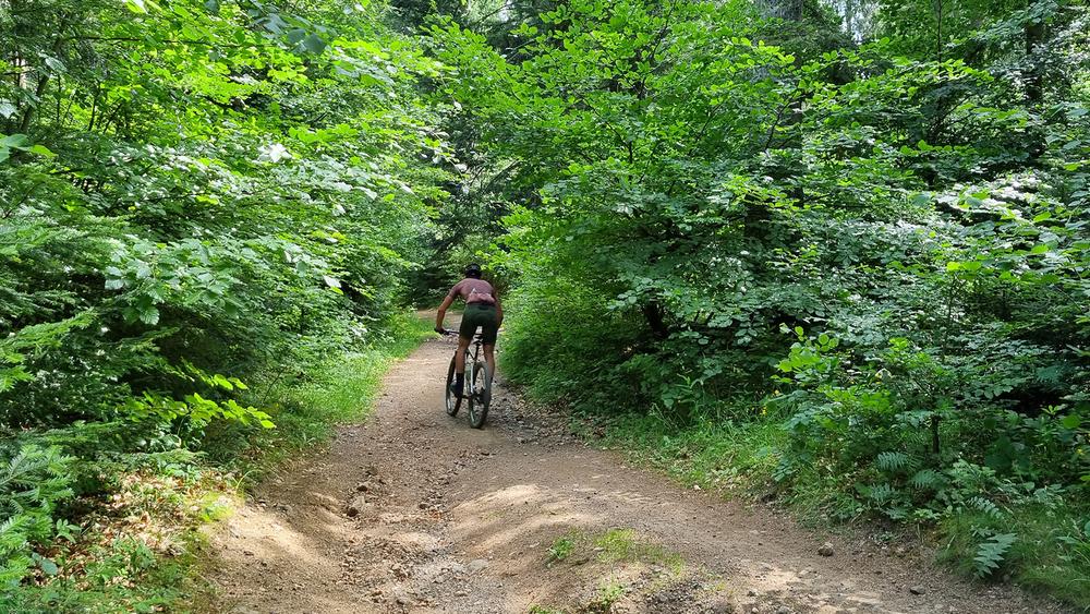
Mountain Bike Trail at the Foot of Puy de Mercœur | From L’Escapad
-
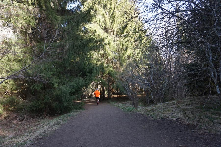
Hike at the Foot of Puy de la Vache | Starting from L’Escapad
-
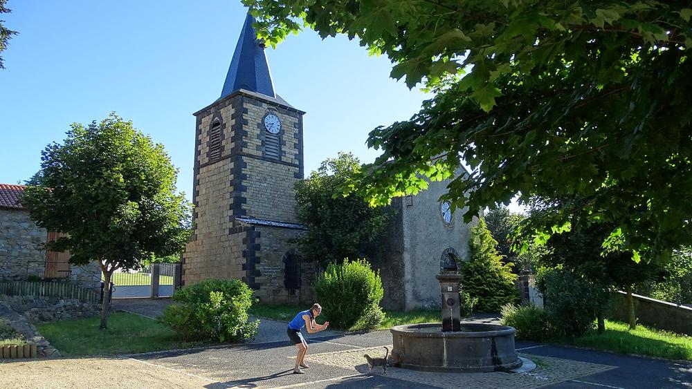
Hike Around Puy de Manson | Starting from L’Escapad
-
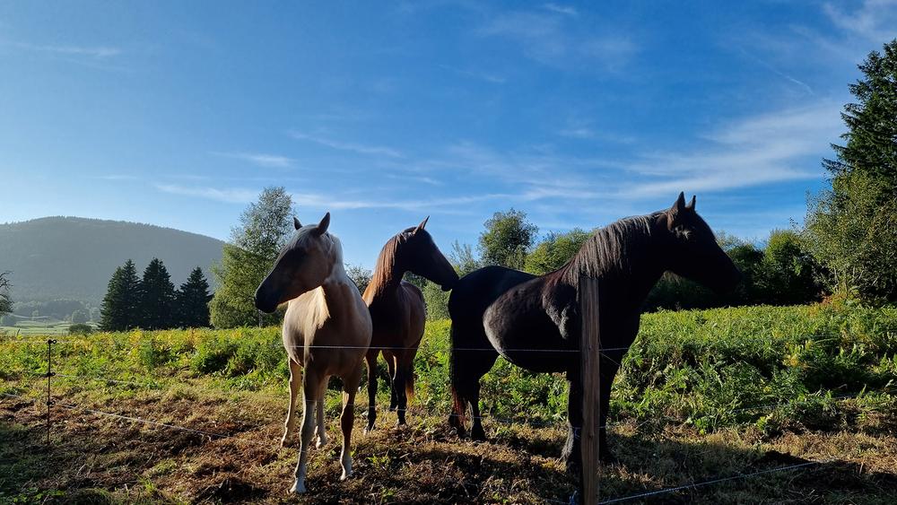
Passing through Laschamps
-
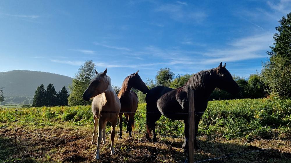
Mountain biking through Laschamps
Photo credits : Clermont Auvergne Métropole
 Updated on 24 March 2026 by Clermont Auvergne Volcans