![]()
La Traversée de l’Auzon
Saint-Genès-Champanelle
 No dogs allowed
Distance 22Km
Duration 6h00
Hiking route BOUCLE
Marking Yellow circles and PR.
In pictures

Route description
On this outing, you’ll drive past the Samson Dolmen, before climbing up to the Redon plateau. After crossing Varennes. Finally, after a glimpse of Lac de la Cassière, it’s time to head back to L’Escapad’.
Trail highlights
We recommend that you follow the tour using the Mikhes app, which guides you step by step to simplify your discovery. Download the app at the bottom of the page and start your tour.
Guidebook with maps/step-by-step
Step 1 : At the start of Escapad’, by the church, take the gate to the Gorges de l’Artière. Turn right towards Ceyrat.
Step 2 : At the fork in the road, turn left towards “Ceyrat mairie/Cotes de Berzet”.
Step 3 : At the next signpost, turn right towards “Ceyrat Robinson”.
Step 4 : Just before the Dolmen de Samson, turn right steeply up a small path in the woods (yellow cross sign). You then come to a level path. Continue straight ahead.
Next step
Step 5 : Leave the 1st track on the right, continue straight on. At the fork, turn right following the PR sign, then right onto the uphill path. Continue straight ahead on the same track (leaving the paths to the right and left). Go through the metal gate to the farm. Cross it and take the 1st track on the left (yellow circle).
Step 6 : Continue all the way down the asphalt road to cross the N89 towards “Chanonat/La Roche Blanche”. Turn right onto “Chemin des Cours”. Then left on “Chemin des riveaux”.
Step 7 : Take the road to the right and continue downhill to the signpost. Follow signs for “La Cassière/Nadaillat”.
Step 8 : After climbing for 3.2 km, at the intersection of the 3 paths take the left-hand path up to Nadaillat. At the road, turn left towards “Rouillas Bas”.
Step 9 : Follow the sign for “La Cassière/L’Oradou”. Turn left onto “Rue du sabotier”. Go straight ahead and take the path (PR Bleu). Cross the road, following the sign for “La Cassière/Les Condamines”. Continue along this path, closing the gates as you go.
Step 10 : At the end of the descent, turn right towards “Les Condamines ouest”, then right towards “Fontchartoux/Montlosier/La Cassière”.
Step 11 : Arrive at the road (at the stop sign), go straight on to “impasse du Puy d’Aydat” and immediately take the small track on the left. At the road, turn right.
Step 12 : Turn right on “le chemin des chasseurs” to go through the tunnel. At the end of the tunnel, turn right onto “Impasse de la Martinanche”. At the top of the path, turn right, then left on the GR30/GR441/GR4.
Step 13 : Take the 2nd right. At the bottom of the descent, turn left.
Step 14 : At the intersection, turn right following the yellow circles (leave the path on your left). At the fork, turn left, then right on the small track (yellow circle). At the end of the track, take the road on the left, following the “St Genès Champannelle” sign. Go downhill and cross the road, following the sign for “St Genès Champannelle”.
Step 15 : After the climb up to the road, follow the yellow roundabouts. Turn left, then right at the roundabout towards Thedes/Chatrat. Follow the road carefully and take the path on the right, signposted “St Genès Champannelle”.
Step 16 : Pass the sports complex and fire station. Follow the yellow circles and signs back to L’Escapad’.
/* col-6_sm-12 */ ?>
Opening hours
From 01/01 to 31/12 daily.
Comfort, facilities and services
- Coach access
- Defibrillator
Environment
Mountain view, Forest location
Access
Along the way, you’ll have to follow a number of different markings : paths marked by the Métropole (yellow circles), Promenade et Randonnée (PR)…
Downloadable :
You might also like…
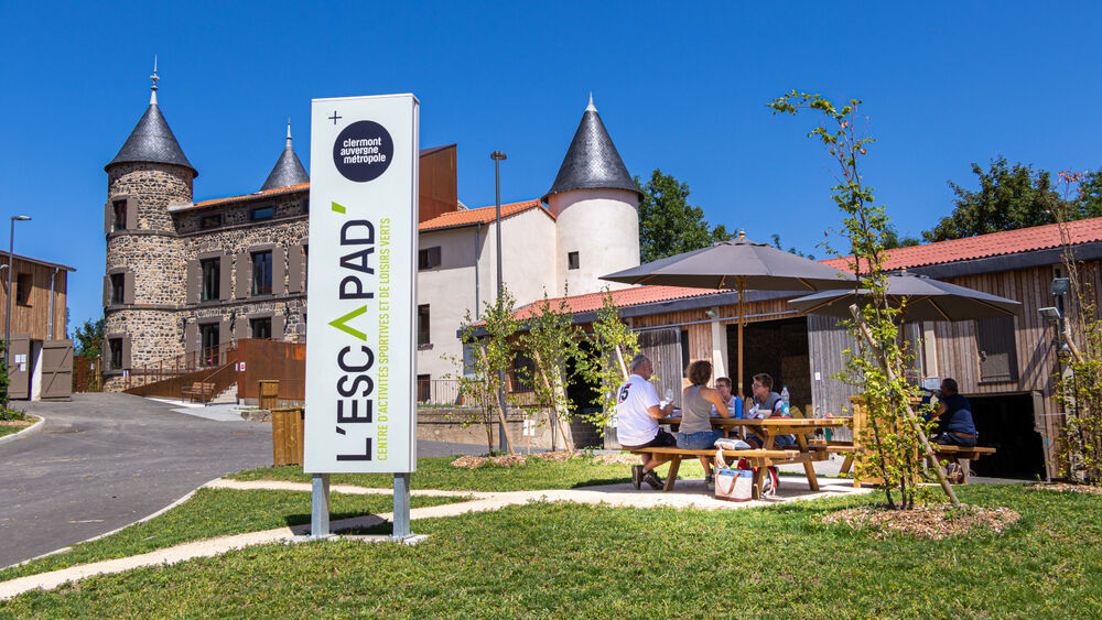
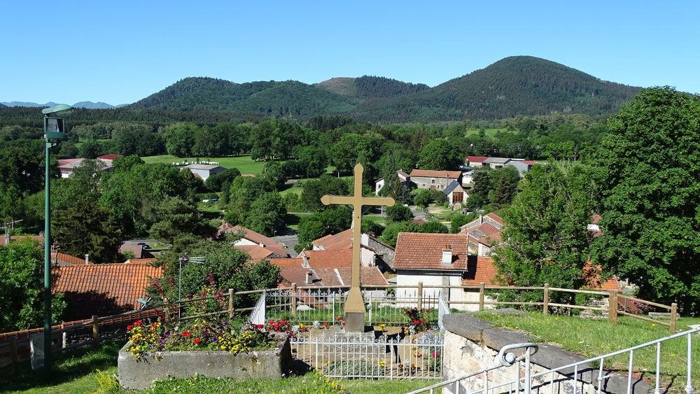
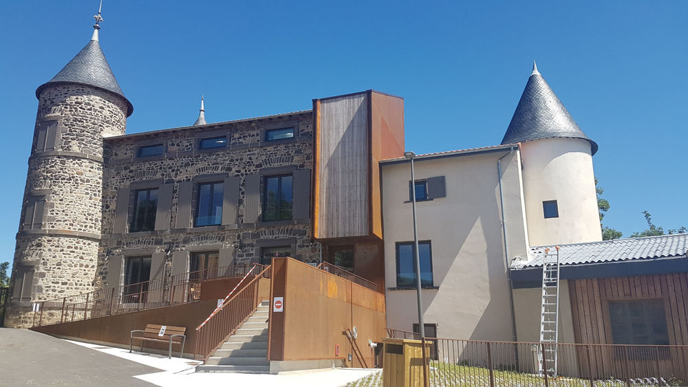
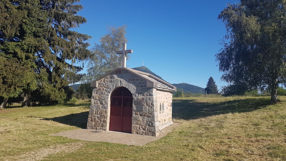
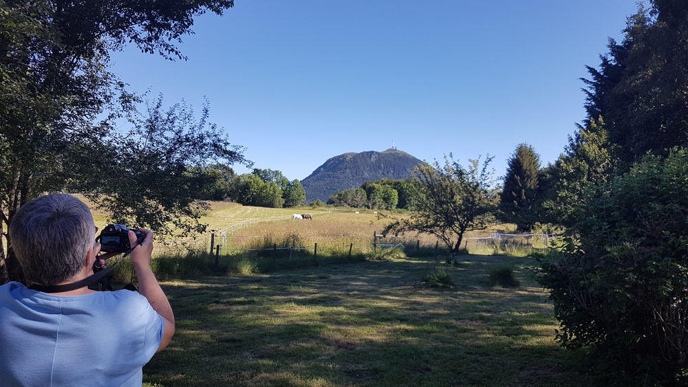
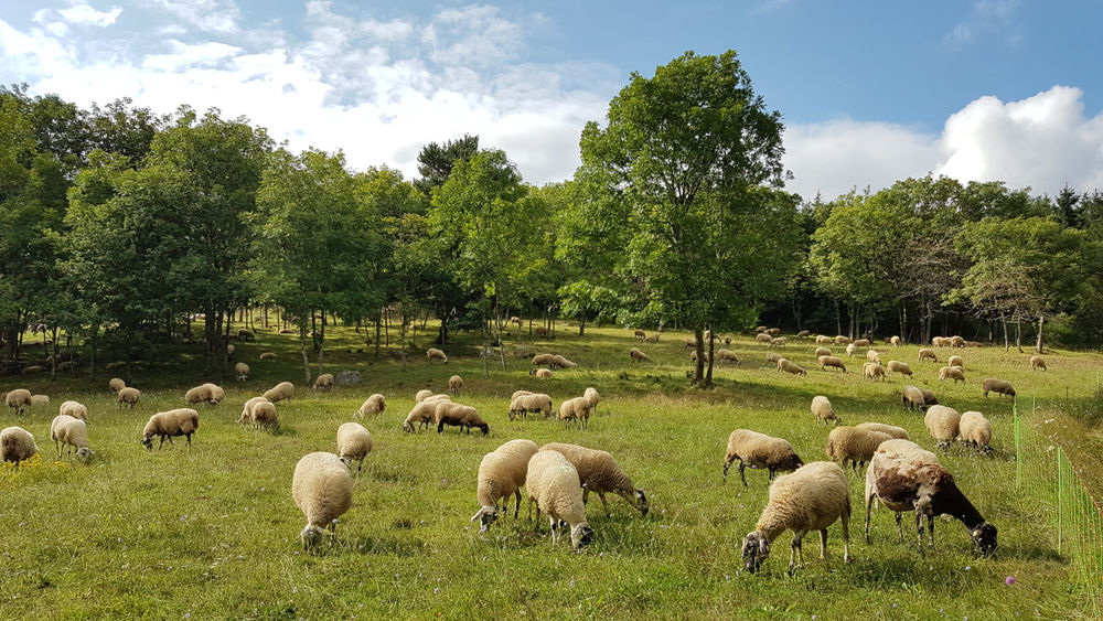
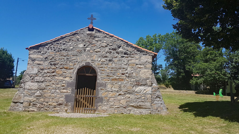
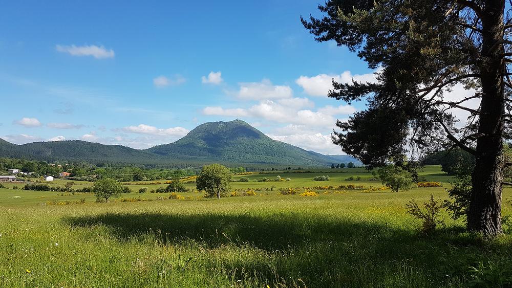
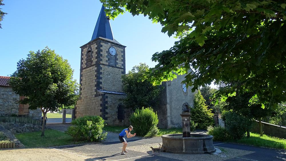

Photo credits : KP-CAT