
GR® 30 : Tour of the Auvergne lakes
La Bourboule
 Dogs allowed
Distance 198Km
Hiking route BOUCLE
Marking Red and white
In pictures


 Visitor alert
ATTENTION – This itinerary is inaccessible to hikers when the Massif du Sancy winter sports resorts are open. Thank you for your understanding.
Route description
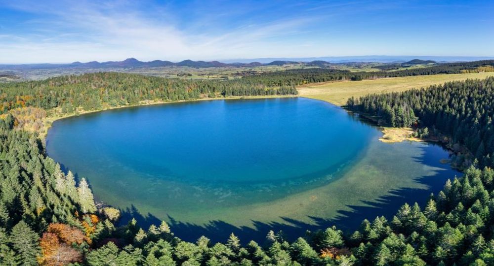
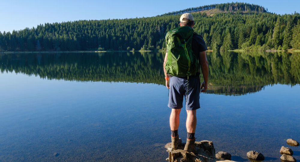
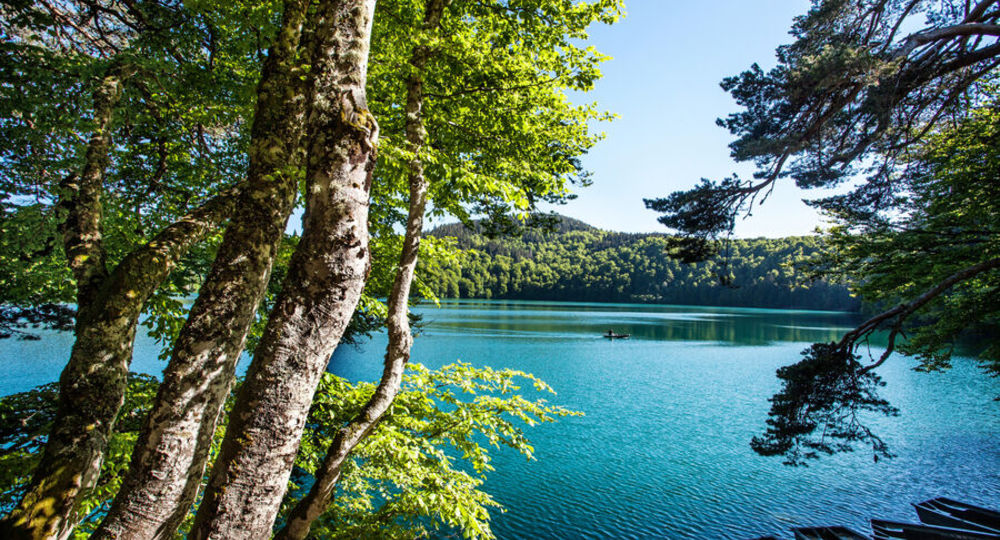
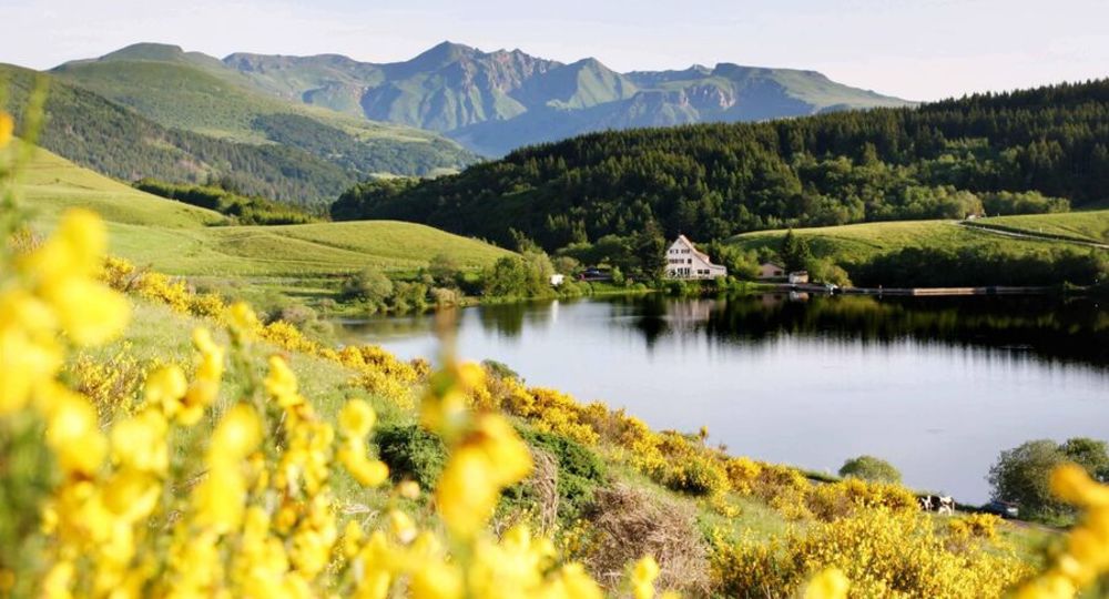
A 198-kilometer loop, the GR®30 circumnavigates numerous Auvergne lakes of glacial (Lac de Guéry), volcanic (Lac Pavin, Lac de la Cassière…) or dammed origin (Lac d’Aydat).
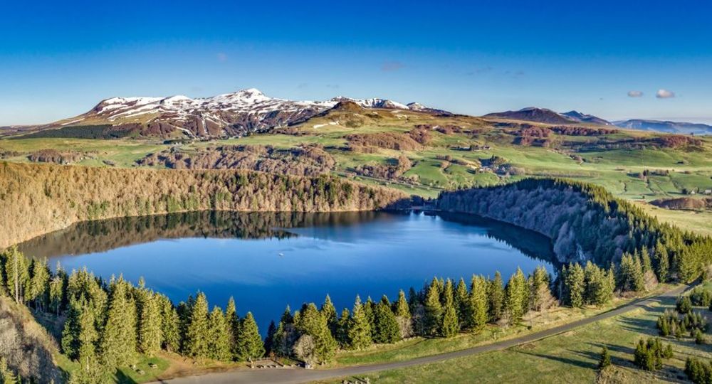
The GR®30 crosses three of Auvergne’s volcanic regions : the Monts Dore, the Chaîne des Puys and the Cézallier.
In addition to its remarkable natural heritage, the route also features architectural gems testifying to several centuries of history : Romanesque art shines through in the basilica of Orcival, the castle of(…)
Trail highlights
– The best times are : June for flowering at altitude, and mid-September/mid-November for autumn hues and bright, sunny days.
Opening hours
From 01/05 to 31/10 daily.
Subject to favorable weather.
Comfort, facilities and services
- Pets welcome
Additional information
For your own safety, always take a bottle of water, a hat, warm clothing and footwear suitable for walking.
Depending on weather conditions, some routes may not be passable in winter.
The GR® symbol is a registered trademark of the Fédération Française de la Randonnée Pédestre. It may not be used or reproduced without its consent.
Dogs allowed Dogs must be kept on a leash. Dogs are often present in summer pastures. However, they are strictly forbidden in the Chaudefour Valley Nature Reserve.
Environment
Forest location, Mountain view, Panoramic view
Access
The starting point of the GR® 30 lies between Le Mont-Dore and La Bourboule ; it can be reached from the former SNCF railway stations at La Bourboule or Le Mont-Dore (service by AURA region bus from Clermont-Ferrand ; route not signposted but described in the topoguide©).
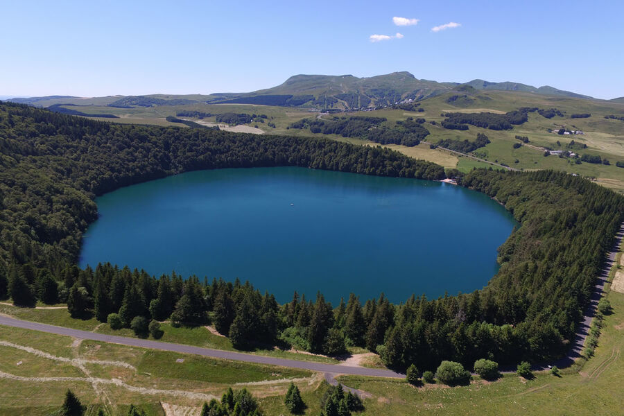
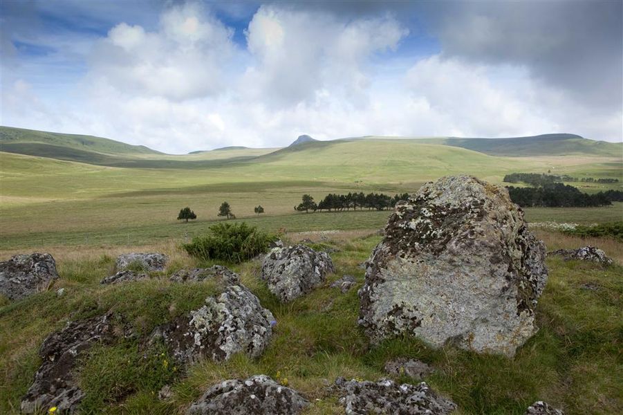
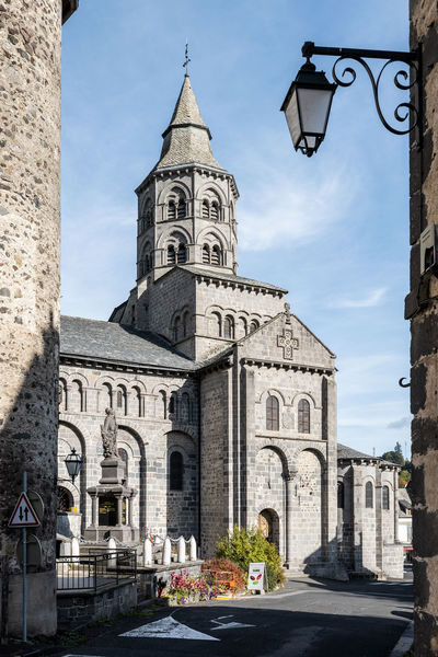
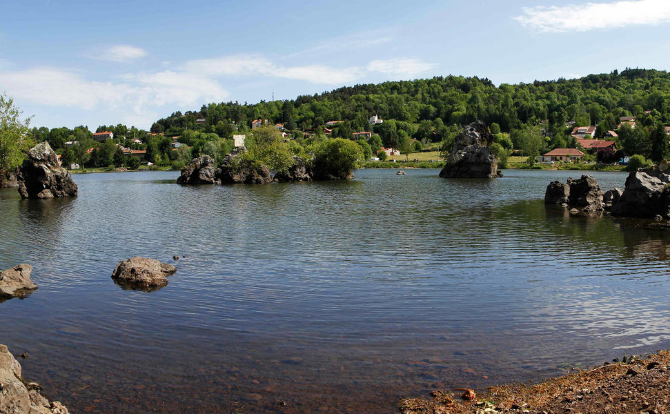
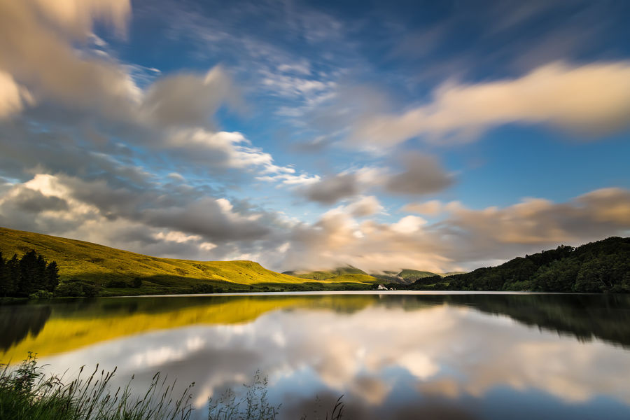
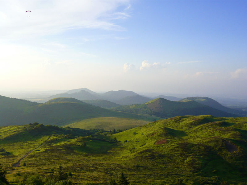
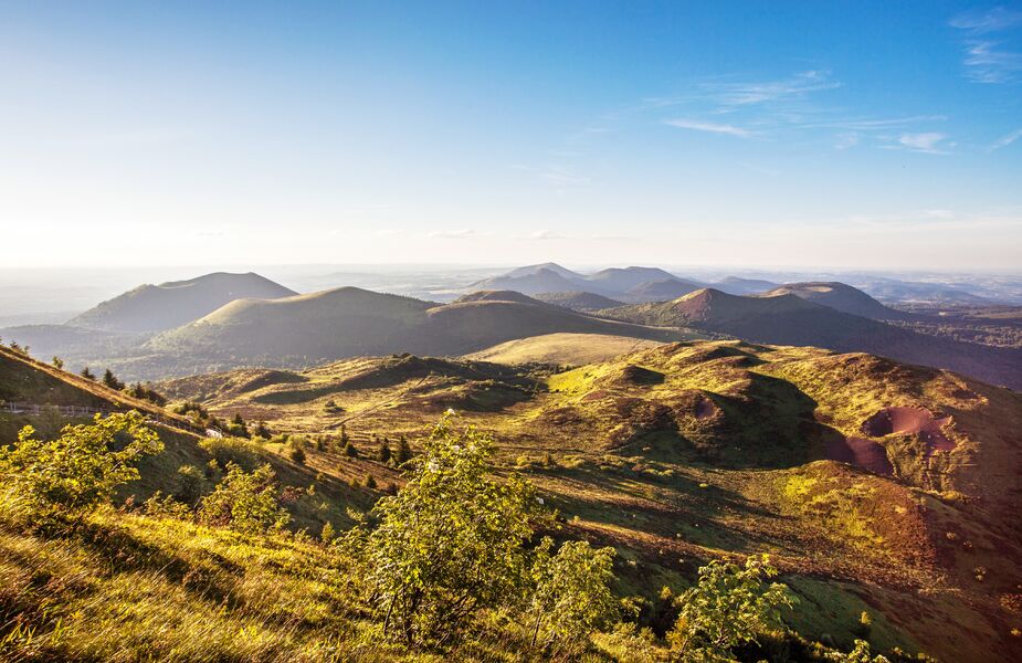
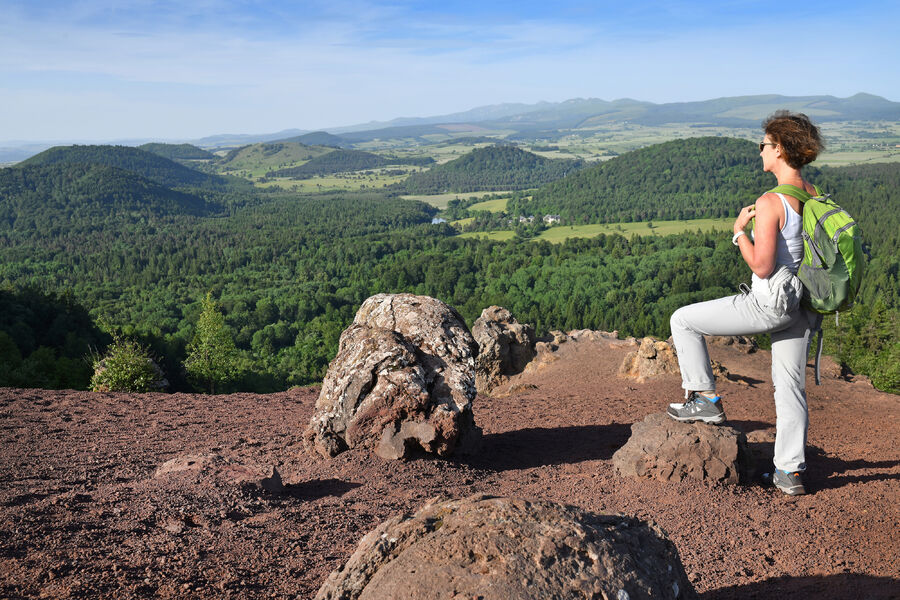
Photo credits : CD63/Francis Cormon, Grégory Rohart, David Frobert / Auvergne-Rhône-Alpes Tourisme, CD63/Francis Cormon, CD63 / David Frobert, CD63/Francis Cormon, Michel Avard, Fédération Française de la Randonnée Pédestre
 Updated on 29 January 2026 by Conseil départemental du Puy-de-Dôme