![]()
Rift Chaos
Ceyrat
 No dogs allowed
Distance 7.8Km
Duration 2h30
Hiking route BOUCLE
Marking Yellow rocks
In pictures

Route description
This wild trail takes hikers and mountain bikers between the granite boulders that bear witness to the Limagne Fault, a UNESCO World Heritage site (2018).
Trail highlights
We recommend that you follow the tour using the Mikhes app, which guides you step by step to simplify your discovery. Download the app at the bottom of the page and start your tour.
Guidebook with maps/step-by-step
Step 50 : Turn right for 80m to marker 51.
Take the left-hand path to 52.
You’re now on the Parcours de santé forest path. Turn left uphill to marker 53.
Go right up the track to the next crossroads. At the crossroads, turn right and continue to marker 54.
Leave the main track and turn right onto the path between small oak trees. After 250 m, follow the signs to the left, leaving the main path behind. Relaxation area on the right and arrival at the Croze rock with a view of the Thèdes stream gorges.
From here, follow the signs to discover a wild, rugged area. Stay on the path. Do not venture onto the rocks (precipices and risk of falling boulders). Among all the rocks in this chaos, you’ll discover the Devil’s Rock and the Giant’s Rock, with their ball- or cube-shaped granite boulders : the Tors.
Continue along the path, following the signs. At the top of the stairs, take the right-hand path. At the bottom of the descent, there’s a relaxation area on the right. Follow the path up to marker 55.
Turn right downhill. Cross the Thèdes stream. Follow the path up to the left. From here, turn left for about 200m and you’ll see a series of boulders : the Champeaux rocks. Continue along the path, passing the bench with its view of Boisséjour, as far as marker 56.
Leave the main path and take the path on the right as far as the Rocher des bénitiers. Don’t pass by without discovering the cupules at the top of the rock, which spill into one another in a circular arc. A true enigma, a place of worship and legend…
Turn right around the boulder and descend into the woods to marker 57.
You’ll find the “Parcours de santé”. Turn left. After 150m on the right, you’ll see the Gargantua rock. Continue downhill to marker 12.
Leave the forest path and turn right along the “Artière de Boisséjour” stream. The Bourgailloux rocks appear 150m ahead on the left. Continuing on, on the right you’ll find the Gargantua rock with its vertical wall, popular with climbers. Relaxation area on the banks of the stream. Continue along the path to marker 13.
Turn right up the steps and down the winding path. You come to the Artière stream and the first houses…continue along the path and then the street on the right to the small bridge at “Hameau de Préguille”. Cross the bridge to the right and follow the signs to the left, which take up a path between the houses. Take the wide track opposite. After the bridge, turn left onto Avenue de Préguille and continue to the stop sign on Avenue JB Marrou. Turn right to the crosswalk at the top of the hill. Cross over to return to the parking lot.
/* col-6_sm-12 */ ?>
Opening hours
All year round daily.
Environment
Forest location, Close to a public transportation, Village centre, Less than 10 minutes from a bus stop on foot
Access
Mazeyrat” or “Chantemerle” stop – Bus line 4
Downloadable :
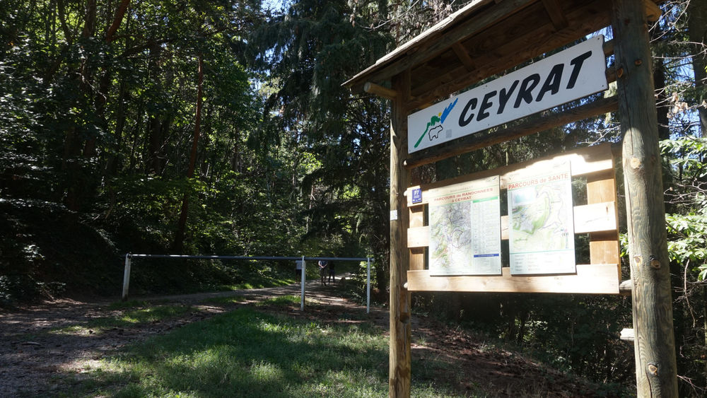
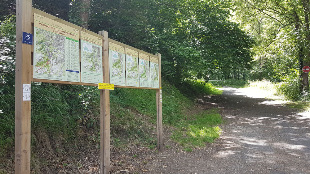
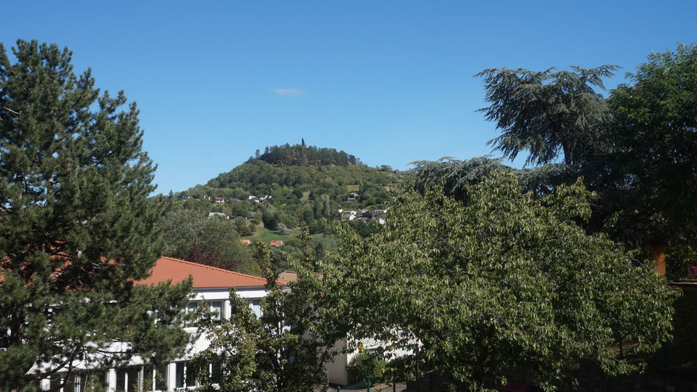
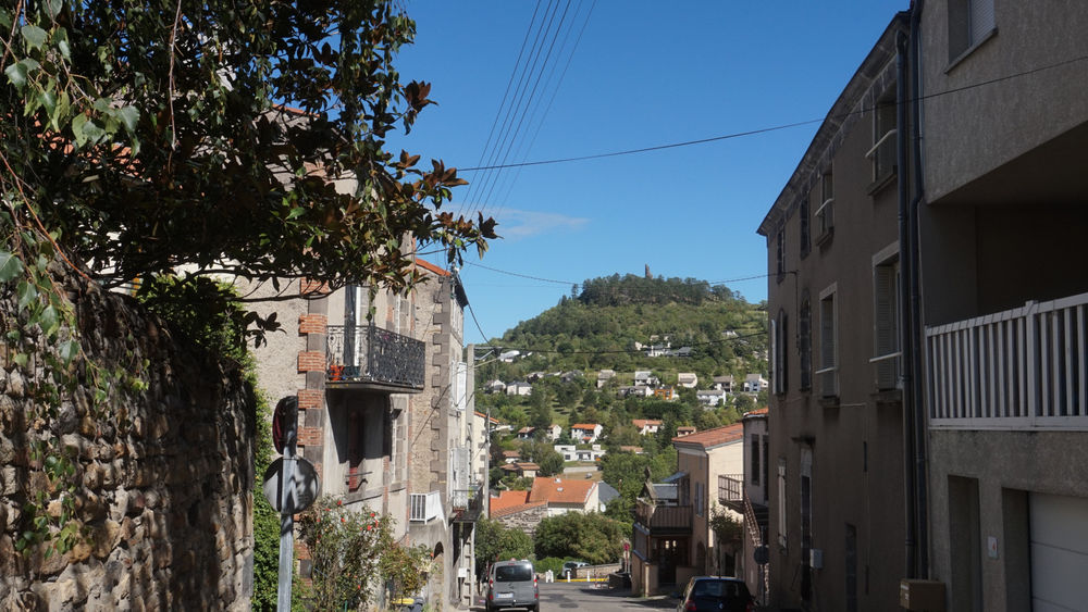
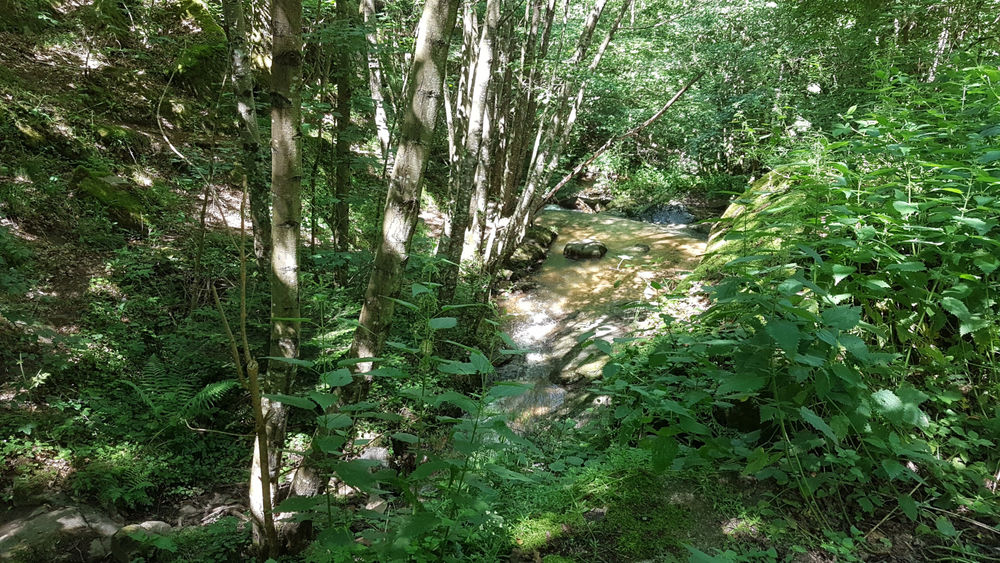
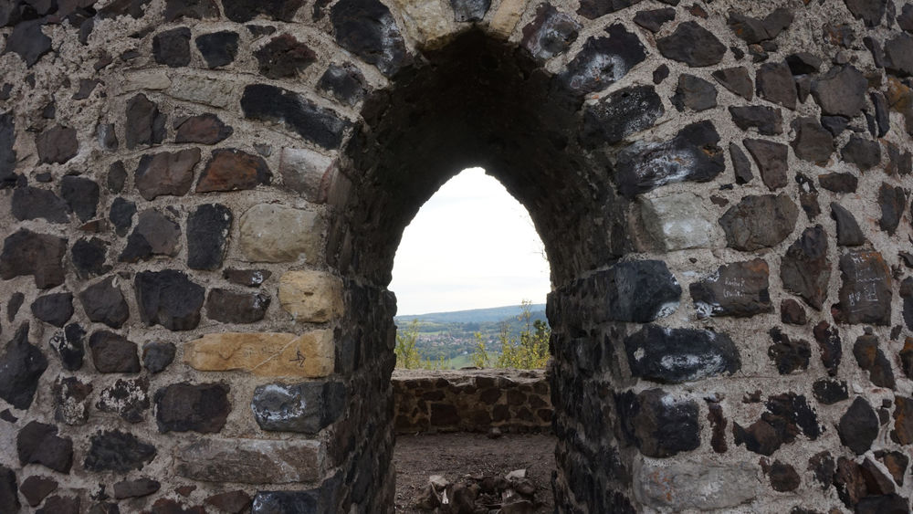
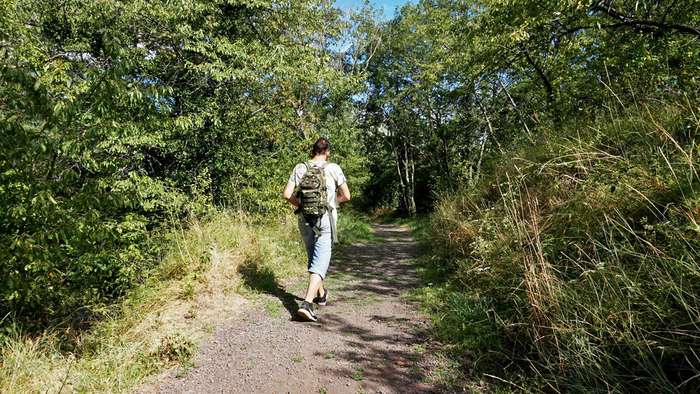
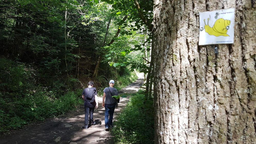
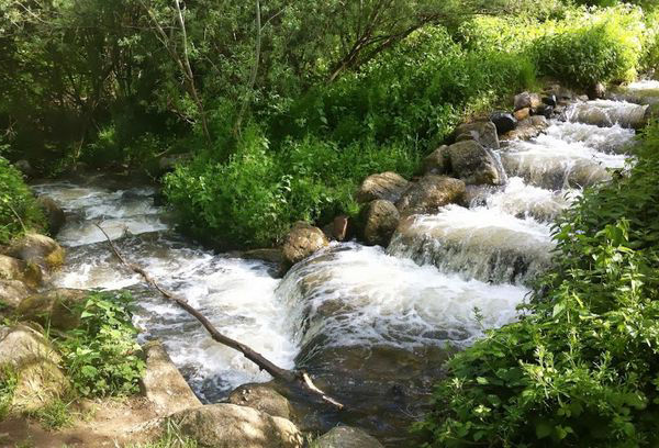
Photo credits : ESM-CAT