![]()
Ceyrat’s grand tour
Ceyrat
 No dogs allowed
Distance 25Km
Duration 8h00
Hiking route BOUCLE
Marking Polar bear
In pictures


Route description
This circuit can be covered from 5 parking lots. It provides access to all the commune’s remarkable sites (Gorges de l’Artière, sectional forest, numerous valleys, Montaudoux, Moulin de la Tranchère, Vestiges de Montrognon…).
Guidebook with maps/step-by-step
Step 5 : Les gorges de l’Artière, avenue de la Libération
– P5 – From the parking lot, take the avenue on the right and go up the 2nd street on the right (chemin de Redon).
– At the T-junction, turn right for a few metres, then left at the transmitter on a wide track.
– Turn right on the level track as far as the 180° bend.
– Continue straight ahead for approx. 2km. Descend to the right above the Dolmen de Samson, then turn left along the stream.
– Use a footbridge to cross the stream and climb uphill for 50m.
– At the intersection of several paths, follow the leftmost path.
– At the end of the undergrowth, take the right-hand path up the hillside to Berzet. At the vaulted drinking trough, take the right-hand road through the village.
Possibility of starting at P6 / Village de Berzet, route de Ceyrat
– Turn right down the Chemin du Champ d’Issart (180° view over the south of the département). After the electric transformer, turn right again. The path continues along a footpath.
– At the hairpin bend, turn left onto a narrow path which leads to a forest track. Follow this to the road.
– Cross the road and go over the guardrail at marker 8. Go down the steps and follow the path through the woods. It leads to a wide driveway. Turn left for 150 m, then right on a well-marked path. At the crow’s feet, turn left down the path. Ford the Thèdes stream. Follow the path to the right for 30m.
– Turn left. The narrow path gradually widens until it becomes a forest track.
– After more than 1.5 km, take a path that descends to the right. At the bottom of the stairs, follow it to the right, overhanging the Artière de Boisséjour stream, until you reach a large forest alley.
– Take the alley on the left as far as the stream.
Possibility of departure at P8 / Route de Charade
– Go down the forest track to the stream.) Turn right down the Chemin de Bourgailloux, which runs alongside the stream.
– Continue straight ahead on the Chemin du Bourgailloux until you reach the Avenue de Charade. Cross it, go left up the road for 50m, then take the path on the right (barrier), up to the intersection with route de Gravenoire. Go downhill on the right, then take the 2nd street on the right (Chemin de la Gargouillère). Panoramic view of Clermont and Limagne. At the bottom of the street, take a path on the left which leads to the road, cross it and go down (Fontaine below) to the Croix de Frün traffic lights.
– Cross and go down the road opposite (Chemin de la Pépinière), which becomes a footpath.
– Take a path on the left as far as marker 22.
– Turn left up to Puy de Montaudoux. Go down the path on the opposite side, then take the track on the right.
– Continue straight ahead on the wide track until you reach a crossroads, then turn right.
– Go straight ahead towards an outcrop of pozzolan, which you skirt to the right. Shortly afterwards, turn right and follow the houses to a footpath.
– Follow it to the left.
Possibility of starting at P10 / Rue du Matharet in Beaumont
– Go downhill to the traffic circle, then turn right onto Route de Boisséjour. Turn left down this road towards the Beaumont bridge. At the traffic lights, cross the road, go over the bridge and take the 1st path on the left down to the Baumière district. Take a wide track that climbs up on the right, between orchards and gardens.
– Pass under the 2X2 bridge. At the next intersection, turn right up the wide track to the Arténium P2 parking lot.
Possibility of departure from P2 / Parking de l’Arténium
– At the bottom of the parking lot, turn left onto the path leading down to the stream, cross the footbridge, walk along the Moulin de la Tranchère and exit at the top of the park. Turn left onto the path. At the end of the lake (redevelopment project), continue straight ahead on the wide path (alongside the hemp reels), then opposite on the path that climbs between the hedges (on the right, the former Chasseurs fountain). Continue straight ahead through the meadows, passing several chicanes (panoramic view of Clermont and Limagne).
– When you reach the reservoir, take the path up to the right.
– Turn left off the track and follow the grassy path, ignoring the side paths.
– At the “patte d’oie” (goose foot), climb up to the scree slope in the undergrowth.
– Follow a level path to the right, skirting the last houses. Cross the traffic circle and head uphill to the transmitter. On the left, take the uphill path.
– Continue straight ahead to reach the Tower (360° panorama) via the scree.
– Descend via the same steep passage.
– At marker 35, take the left-hand path on the flat. Descend the south-facing slope of Montrognon towards Clémensat. At the bottom of the path, take the gravel path to the right, then right again. Alongside a building, take the large track on the right as far as the traffic circle.
– Cross the bridge and turn left (Fontaine froide du Qué below) onto rue de Gergovie, which you follow as far as MAPAD. Follow the road to the left, past the Statue de St Martin, cross the old bridge and climb the path opposite (overhanging the Artière de Ceyrat). When you reach the Chemin des Pradeaux, turn right up to the avenue.
– Return to P5 parking lot on the right.
– To continue to P6, cross opposite.
/* col-6_sm-12 */ ?>
Opening hours
All year round daily.
Environment
Forest location, Close to a public transportation, Village centre, Bus stop < 500 m, Less than 10 minutes from a bus stop on foot
Access
Stop “Ceyrat – Robinson” – Bus line 4
Downloadable :
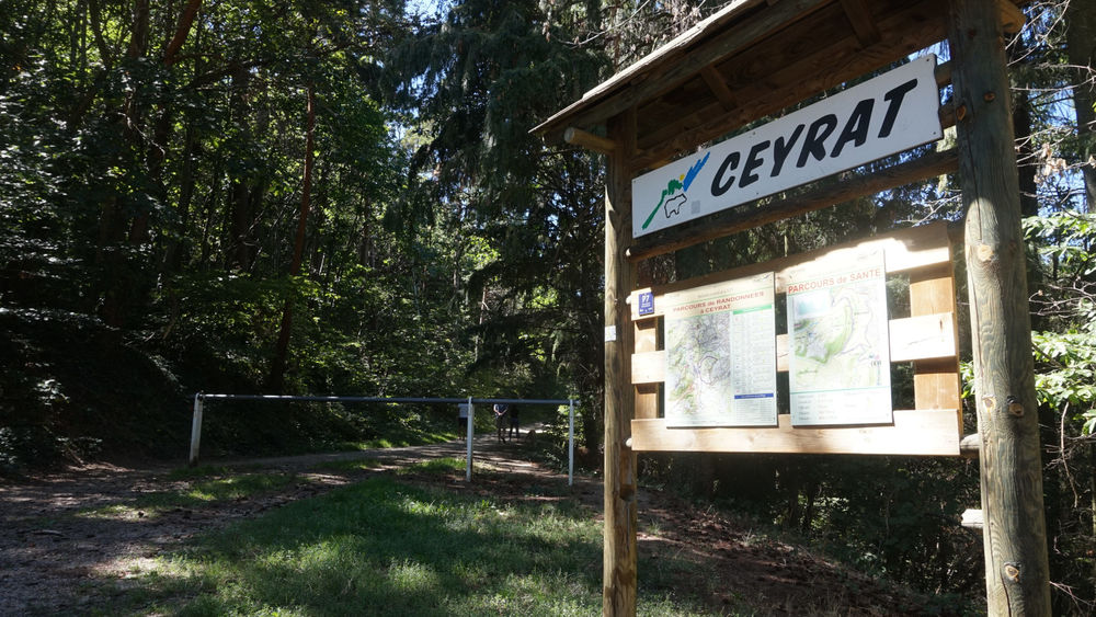
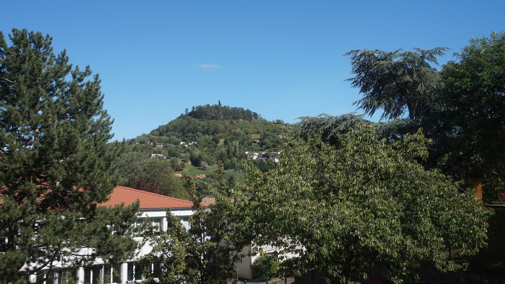
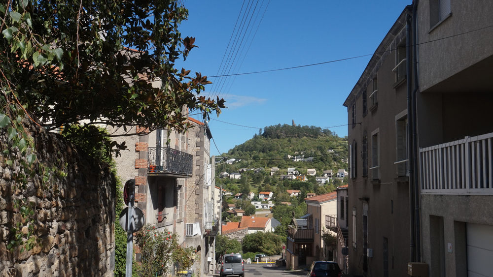
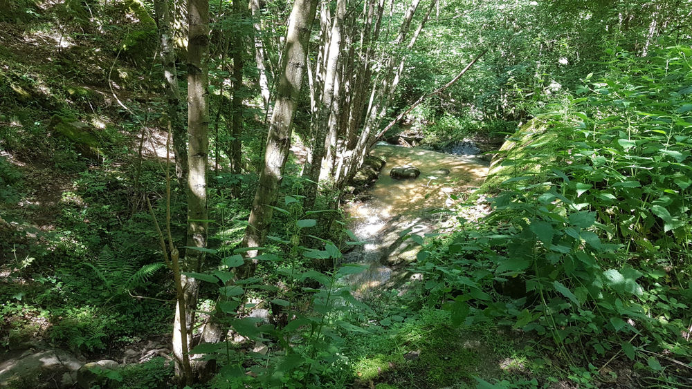
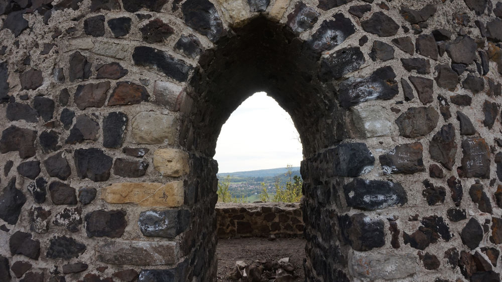
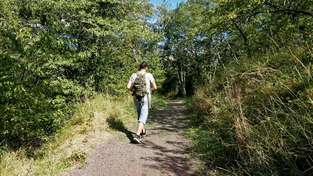
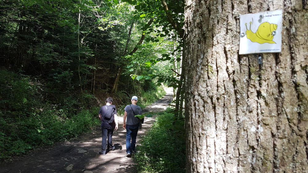
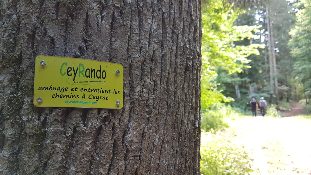
Photo credits : ESM-CAT, ESM-CAT