
Hike : The remains of Montrognon | Ceyrat
Ceyrat
 No dogs allowed
Distance 7Km
Duration 2h00
Hiking route BOUCLE
Marking Rossignol
In pictures

Route description
Setting off from Ceyrat, set out to explore the ruins of the medieval tower at Montrognon ! Climbing a volcanic hill, this walk offers a glimpse into history and exceptional panoramic views of the town and the Chaîne des Puys.
A historic climb to the famous medieval tower overlooking the Artière Valley
Starting from the village of Ceyrat (car park near the Town Hall / Place de la Résistance), the ‘Les vestiges de Montrognon’ trail is a short, iconic walk for lovers of heritage and stunning panoramic views. Climbing(…)
Trail highlights
Access by bus (departure 1) Bus line E2, P32 stop “Ceyrat Mairie”, (departure 2) Bus line P31 stop “Arténium”.
We recommend that you follow the tour using the Mikhes application, which guides you step by step for a simplified discovery. Download the application at the bottom of the page and start your tour.
Guidebook with maps/step-by-step
Step 1 : Pour le Bourg de Ceyrat, franchir le pont puis tourner à gauche (Fontaine froide du Qué en contrebas). Au niveau du panneau de la Rue de Gergovie, un repère (sur la droite) marque le sentier des jardins que l’on parcourt jusqu’à la rue Coquelut. L’emprunter sur la droite jusqu’au bout puis retourner au parking.
Retour P2 – Pour le parking de l’Arténium, traverser la 1ère rue à droite et au repère 36, descendre par un sentier en contrebas. Prendre le chemin suivant à droite jusqu’au parc du Moulin, le traverser et remonter au parking.
Opening hours
All year round daily.
Environment
Forest location, Village centre
Downloadable :
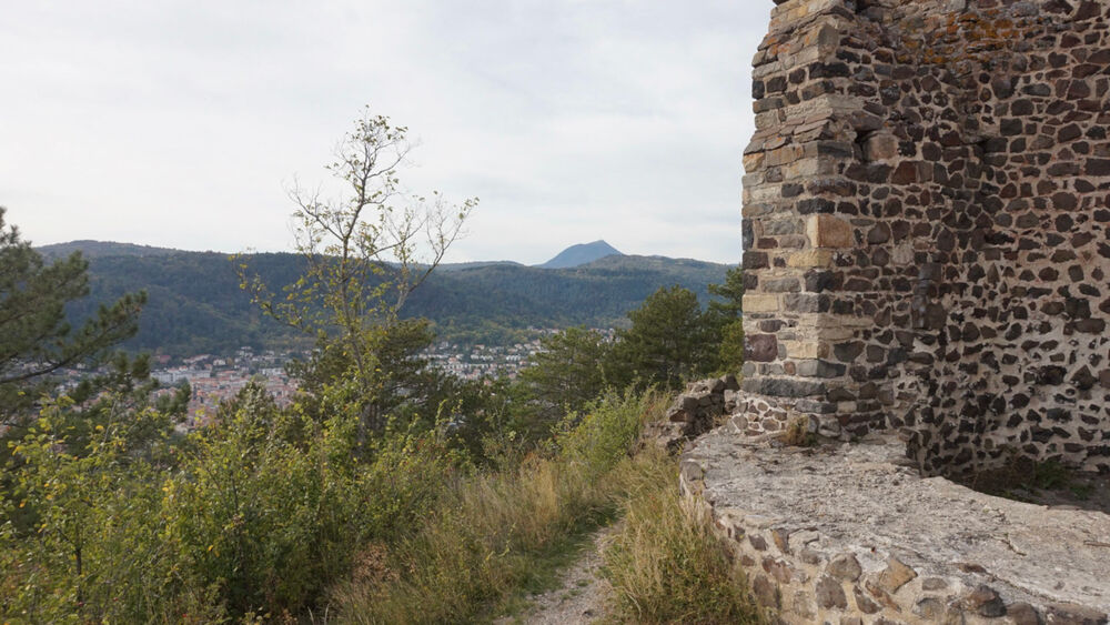
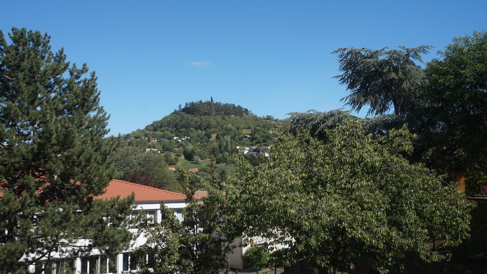
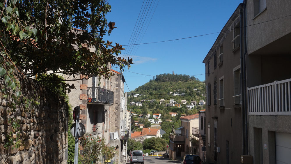
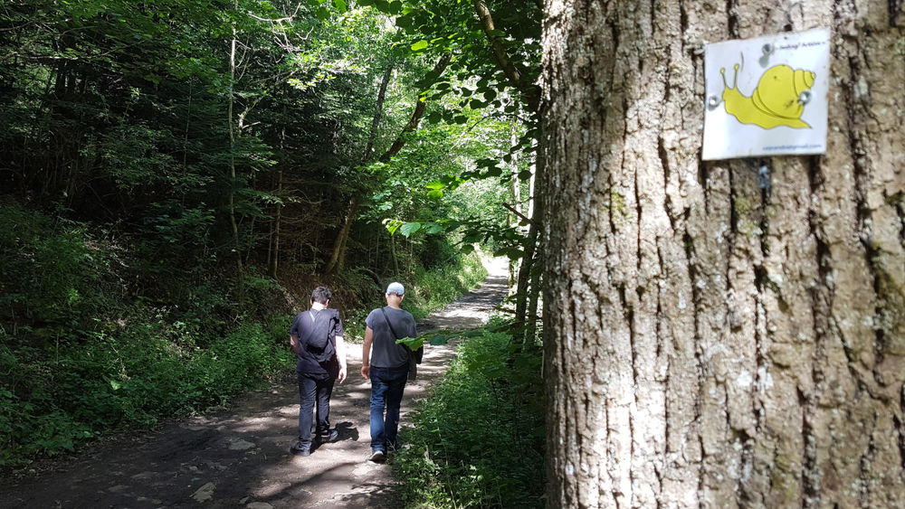
Photo credits : ESM-CAT
 Updated on 5 August 2026 by Clermont Auvergne Volcans